Learning by
Building.
Building. Testing. Teaching.
Engineering Focus
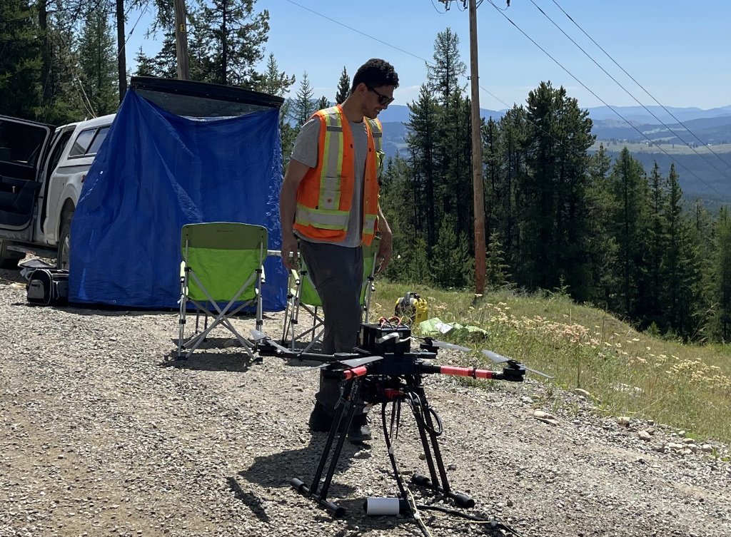
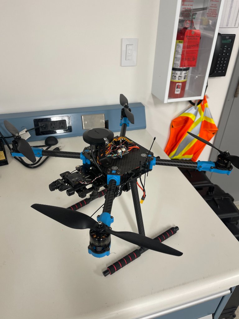
Drone Systems
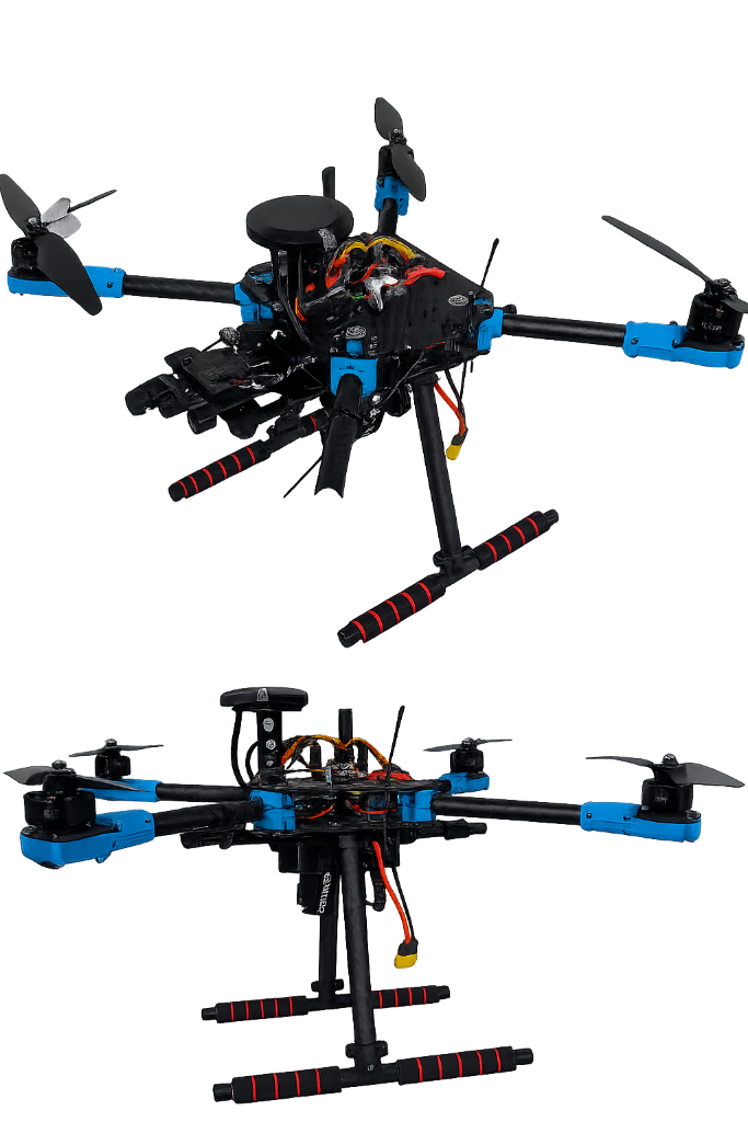
Designing, building, and testing unmanned aerial systems. From hardware selection to autonomy integration.
GIS & Mapping
Photogrammetry, LiDAR, surveying, and spatial data workflows for real-world field applications.
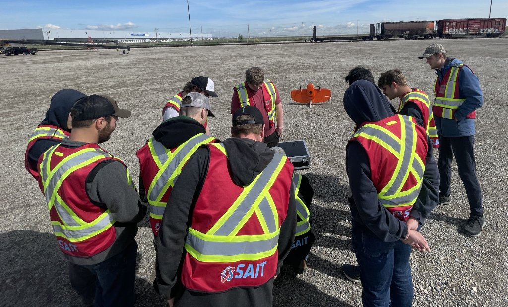
Training & Education
Curriculum development, RPAS instruction, and technical training for students and professionals.
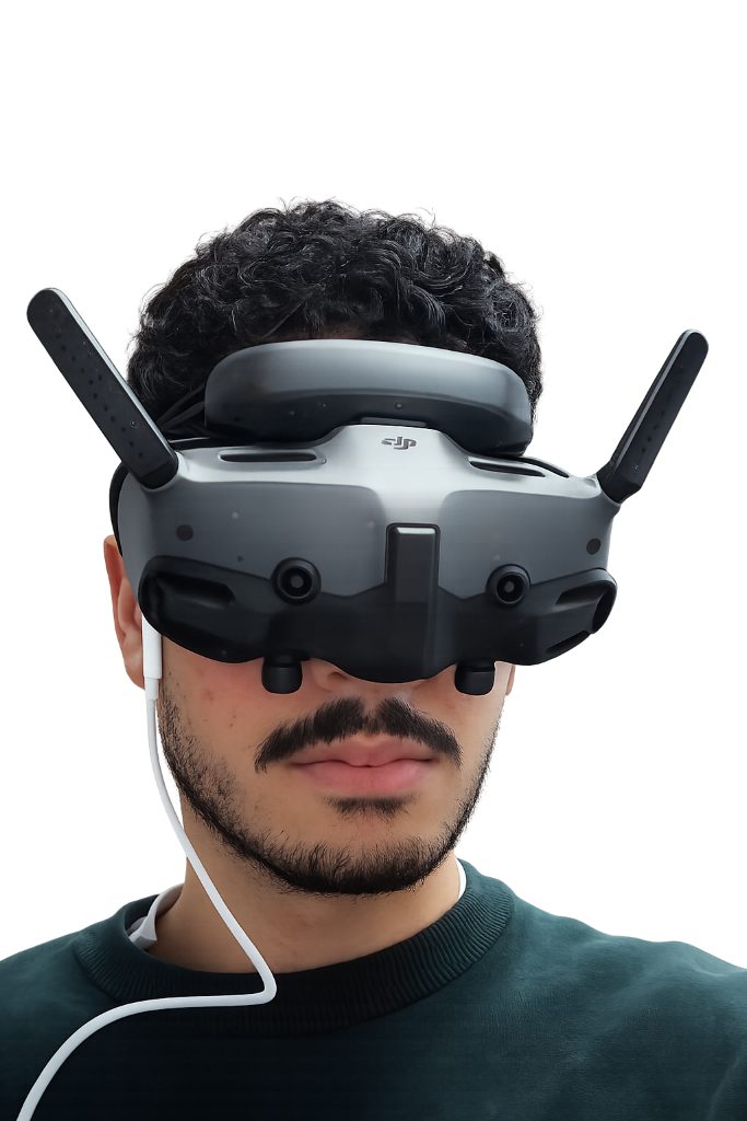
Selected Work
A collection of engineering projects, experiments, and prototypes from the field.
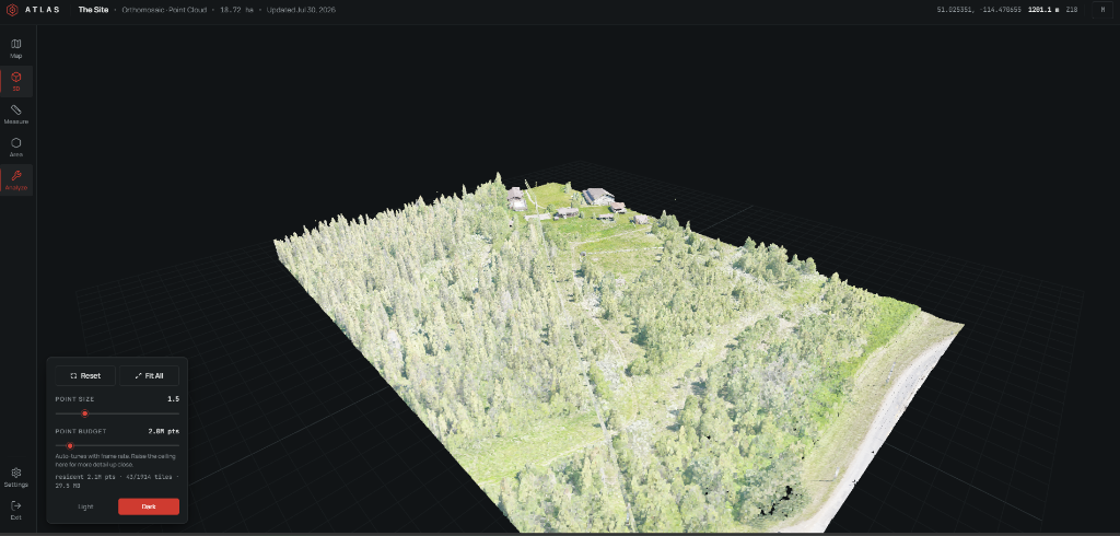
From LAS to Browser
A streaming pipeline that converts raw LiDAR into browser-rendered point clouds, with progressive loading and real-time budget management.
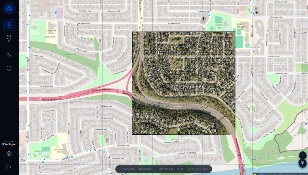
Lightweight Workflow for Viewing GeoTIFFs Online
Converting processed orthomosaics into web-ready XYZ map tiles, served through AWS S3 and CloudFront, and rendered in-browser with Leaflet — no GIS software required for the end client.
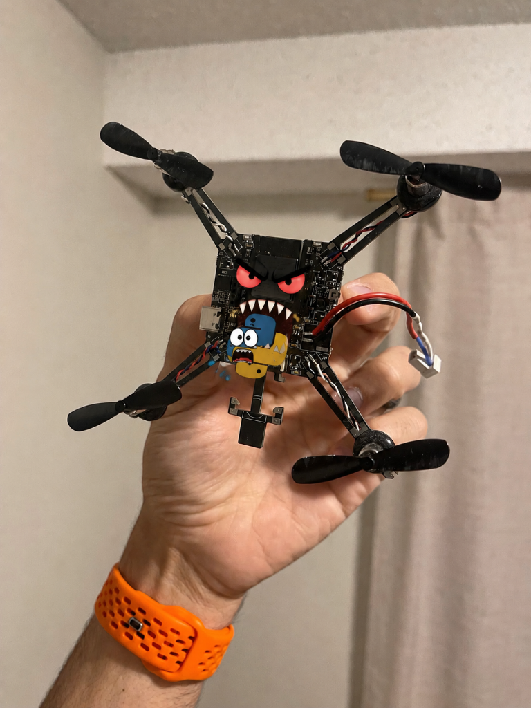
Programming the BCUBE ESP32 Drone Using Python
Working with a direct Python interface for an ESP32-based drone using Wi-Fi, UDP communication, CRTP packet construction, checksum discovery, telemetry decoding, and real-time keyboard control — without touching the flight firmware.
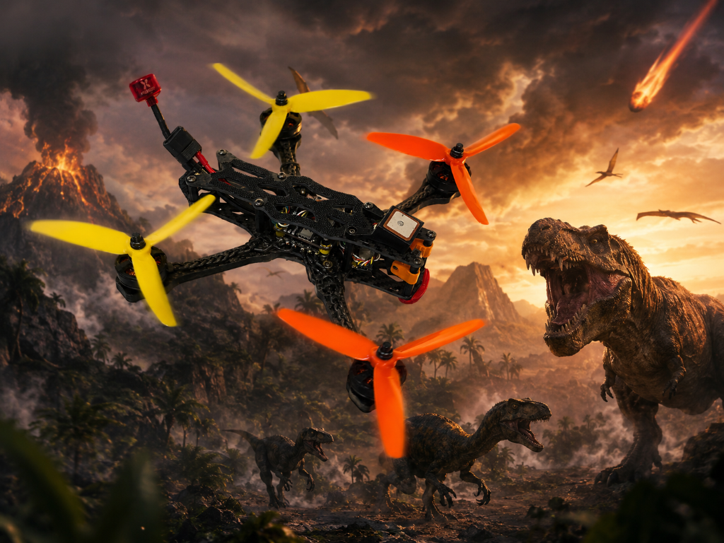
ImpulseRC APEX 5
The last remaining SPEEDYBEE F405.
Build Logs
A timeline of builds, tests, failures, and small wins.
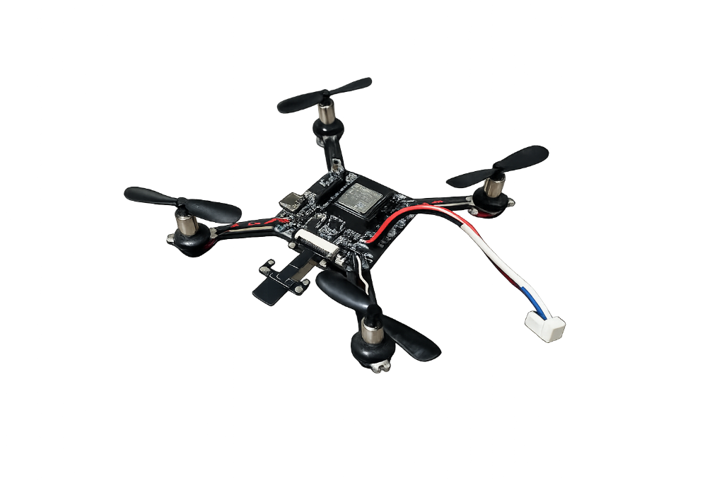
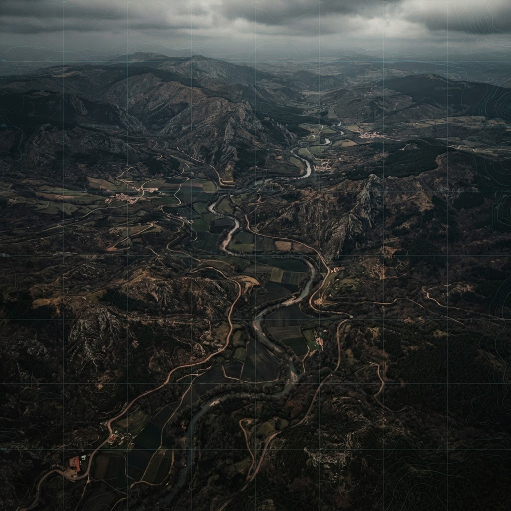
On Geospatial Data Abstraction Layers

Everyone Deserves Good Data

The Alter Ego Effect
DNF

Hardware Abstraction Layers Who?
Meet my friend Hal.

Quick thoughts...
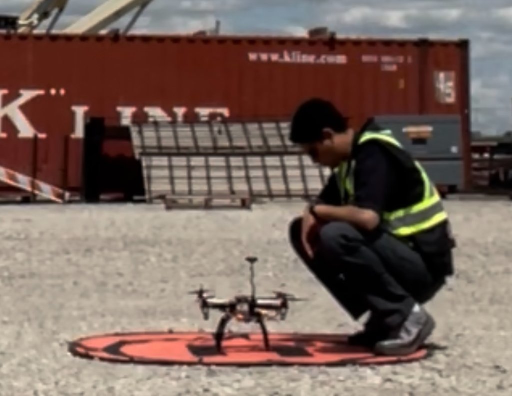
On Failed Projects...
Can projects fail on Wednesdays?